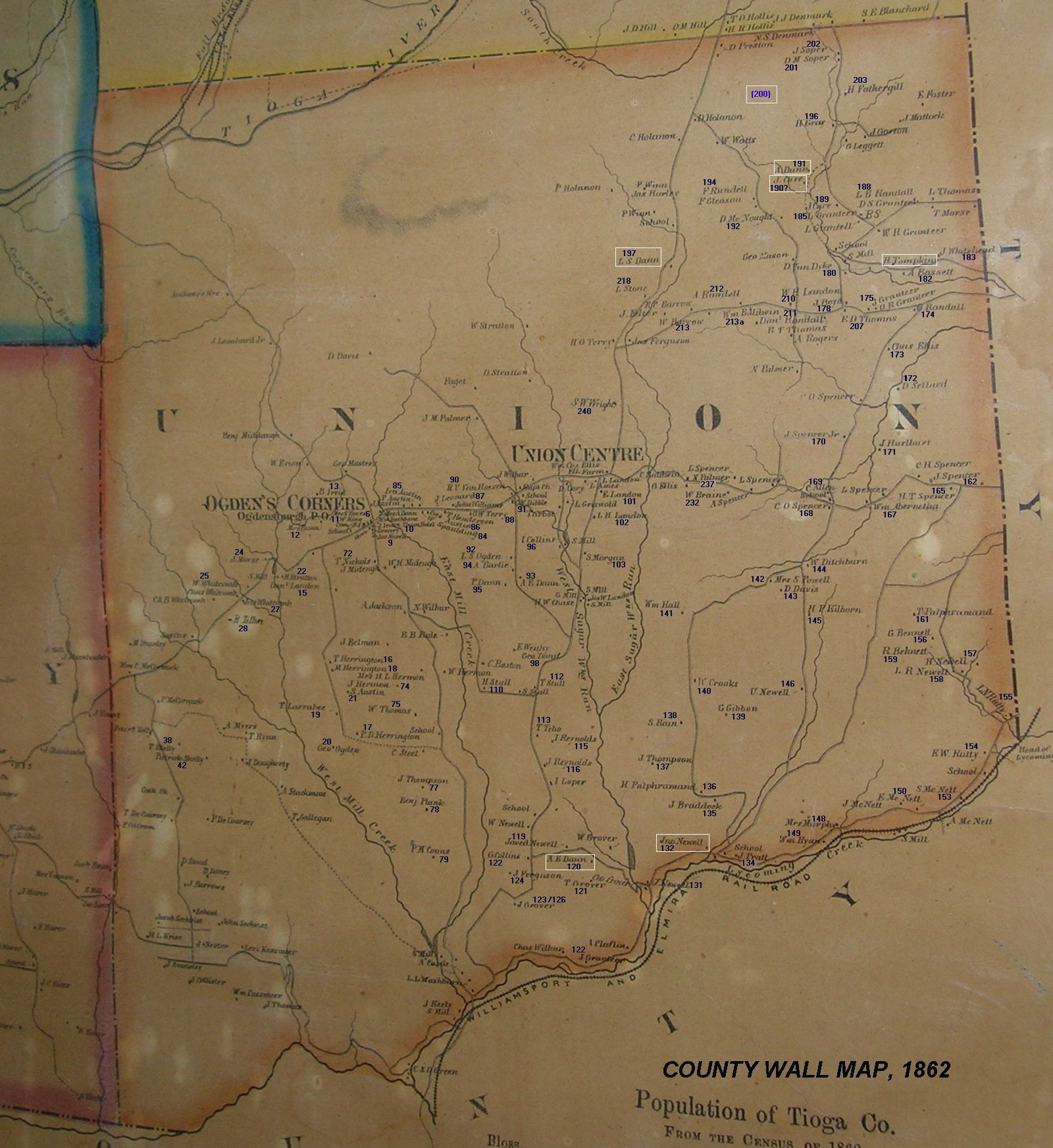
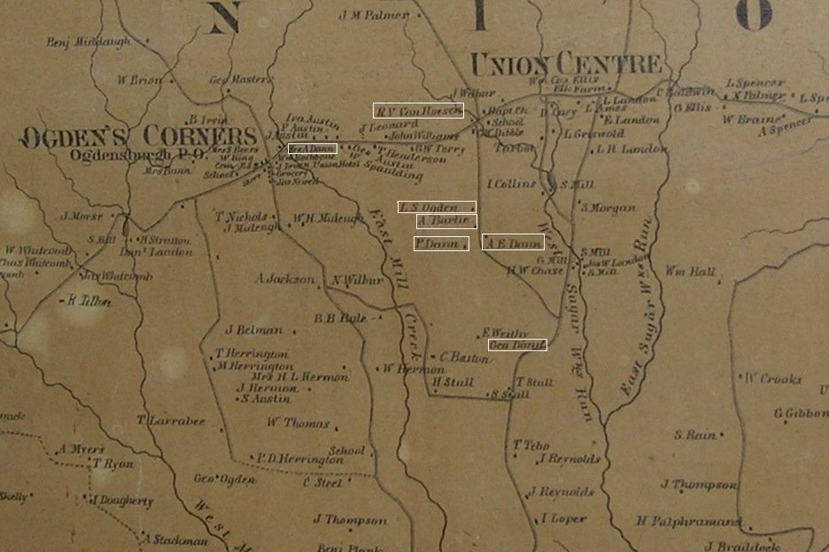
UNION CENTER, 1862
This map correlates family locations with the family numbers on the 1860 US census, which can be viewed at
http://www.rootsweb.com/~sgrp/censust/1860t689.htm
The rectangular boxes are links to Dann information.
THE TOWN OF UNION, 1862